The Working Group on Information Systems and Services (WGISS) promotes collaboration in the development of systems and services that manage and supply Earth observation data. WGISS addresses the internal management of EO data, the creation of information systems and the delivery of interoperable services. The activities and expertise of WGISS span the full range of the information life cycle from the requirements and metadata definition for the initial ingestion of satellite data into archives through to the incorporation of derived information into end-user applications.
WGISS Activities
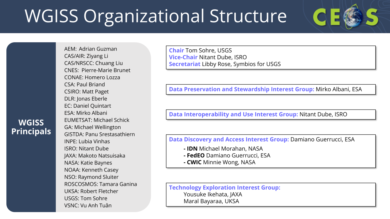
WGISS has a wide range of ongoing and past activities, separated broadly into the four interest groups below. WGISS welcomes participation from the wider community, and invite you to get in touch.
- WGISS Connected Data Assets
- Data Discovery and Access Best Practices
- EO Collection and Granule Discovery Best Practice with STAC
- Service Discovery Best Practice
- Federated Authentication and Authorisation (in progress)
- Heritage Data Recovery
- Purge Alert Service
- Data Management and Stewardship Maturity Matrix
- Persistent Identifier Best Practice
- EO Data Preservation Guidelines
- Software Preservation Guidelines (in progress)
- CEOS Interoperability Handbook
- Interoperability Maturity Matrix (coming soon)
- AI/ML White Paper
- Jupyter Notebook Best Practices
- Digital Twins (in progress)
WGISS Documentation
WGISS Actions are tracked via this online spreadsheet. Any updates to these actions or edits should be provided to the WGISS Secretariat.
WGISS Terms of Reference were updated in 2024 to reflect current priorities and activities.
Working Group on Information Systems and Services Demonstration: This video demonstrates the search and access of Earth science satellite data across multiple CEOS Agencies that make use of a common set of interoperability standards to study an environment issue – the Borneo deforestation.